Plex.Earth Tools for AutoCAD 3.0
Download

Plex.Earth Tools for AutoCAD 3.0

Inserts aerial imagery into CAD projects
4 
Rating
Your vote:
Latest version:
3.0.1303 See all
Developer:
Screenshots
1 / 1
Awards (3)
Show all awards
Software Informer Virus Free award
Download

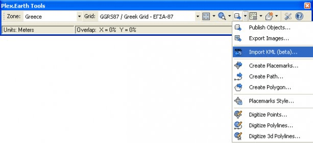
Plex.Earth Tools is the world's leading solution for incorporating aerial imagery and terrain, synchronizing and exchanging data. Create mosaics right into AutoCAD with color imagery from Google Earth or any WMS source. Import terrain points, create contours and work with surfaces, even in the base version of AutoCAD!

Comments

5 stars
6
4 stars
1
3 stars
0
2 stars
3
1 stars
0
User

Your vote:

Suggestions

  • Plex earth tools for autocad 2008
  • Plex.earth tools 2.5
  • Plex.earth free download
  • Plex.earth autocad 2008
  • Dxf to kml
  • Tools for autocad 2008
  • Download plex earth autocad 2007
  • Plex earth-tools-for-autocad
  • Plex earth