Plex.Earth Tools for AutoCAD 2.5

Create mosaics right into AutoCAD with color imagery from any WMS source
4 
Rating
Your vote:
Latest version:
3.0.1303 See all
Developer:
Screenshots
1 / 1
Awards (3)
Show all awards
Software Informer Virus Free award
Download
3.6 MB

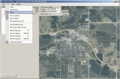
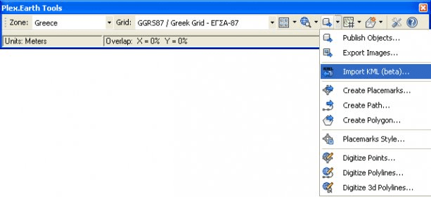
Plex.Earth Tools is the world's leading solution for incorporating aerial imagery and terrain, synchronizing and exchanging data. Create mosaics right into AutoCAD with color imagery from Google Earth or any WMS source. Import terrain points, create contours and work with surfaces, even in the base version of AutoCAD!

Comments

5 stars
6
4 stars
1
3 stars
0
2 stars
3
1 stars
0
User

Your vote:

Related software

Collect Earth
Collect Earth
Free
rating

Tool that enables data collection through Google Earth.

MSR MapCruncher for Virtual Earth
MSR MapCruncher for Virtual
Free
rating

A tool for integrating the maps of your choice into the Virtual Earth API.

UNBRAKO AutoCAD Product Library
Free
rating

UNBRAKO AutoCAD reduces the design revision time considerably.

ArcGIS for AutoCAD 300
Free
rating

It is a plug-in that provides interoperability between AutoCAD and ArcGIS.

AutoCAD Land Development Desktop R2
AutoCAD Land Development Desktop
Free
rating

This patch is for the network version of AutoCAD Land Development Desktop R2.

Related suggestions

Tags

Wms source Leading solution Aerial imagery Terrain Mosaics